
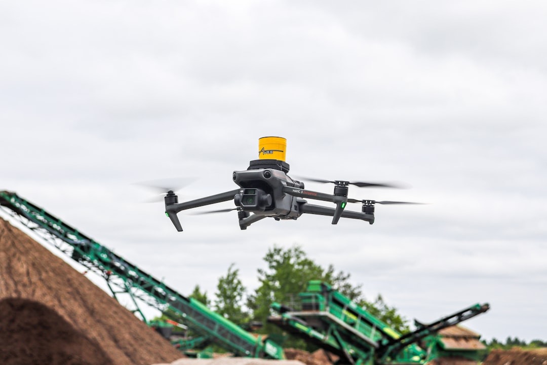
Precision Drone Mapping & Aerial Imaging
East Coast Drones delivers expert drone mapping and aerial imaging in Western Massachusetts. Our services provide accurate, high-resolution data that supports construction projects, land development, and municipal planning. With a focus on precision and reliability, we help clients make smarter decisions using the latest drone technology.

Drone Mapping Solutions for Construction & Land Development
East Coast Drones LLC delivers expert aerial imaging and mapping solutions tailored to construction, land development, and municipal planning, ensuring accurate data that drives smarter decisions and efficiency.
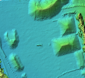
- Accurate Stockpile Measurements for Inventory Control
- Comprehensive Infrastructure Inspections to Detect Issues Early
- Real-Time Project Progress Tracking to Keep You Informed
- High-Resolution Visual Intelligence to Support Risk Reduction

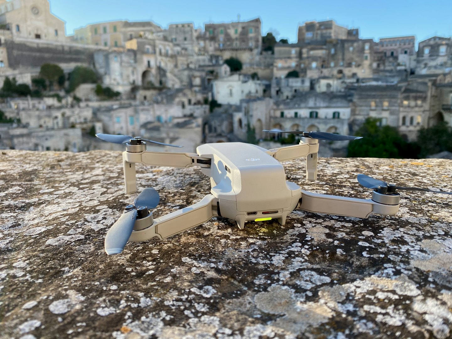
Professional Aerial Imaging Services
Delivering precision drone services with data, reporting, and aerial imagery tailored to your needs.
Construction Monitoring
Monitor site progress with aerial updates that keep projects on track and stakeholders informed.
Stockpile Analysis
Turn aerial surveys into accurate material volume reports that streamline inventory control.
Infrastructure Inspections
Inspect bridges, roofs, roads, and utilities with aerial data that pinpoints issues early and reduced maintenance costs.
Land Mapping
Detailed maps that support land development, zoning, and municipal planning.
Marketing & Media Content
Capture stunning 4k aerial photos and videos that elevate properties, projects, and brands.
Emergency Response Support
Provide real-time aerial assessments that accelerate disaster response and recovery efforts.
Drone Mapping, Monitoring & Inspections
Explore our expert drone services, delivering precise aerial imaging, land mapping, and insightful data tailored to your project needs.
Construction Monitoring
Capture detailed aerial visuals to enhance your construction and planning projects with clarity and accuracy.
Land Mapping Services
Generate accurate land surveys and topographic maps using advanced drone technology for efficient land development.
Infrastructure Inspections
Perform thorough inspections of critical infrastructure to identify risks early and ensure safety compliance.
Enhancing East Coast Development with Precision Drone Services
Explore how East Coast Drones LLC transforms projects with drone-powered data, media, and real-time reporting tailored to your needs.
Turn drone imagery into detailed analytics that empower decision making.
Data-Driven Solutions

Eye-catching aerial visuals to showcase projects & properties.
Marketing & Media Content

Rapid aerials insights when every second counts.
Emergency Response
Precision Drone Imaging Tailored for Your Projects
Email us today at ecdrones@outlook.com